Project Description
Knowing an empire
Through the Relaciones Geográficas
To Europeans, empire meant domesticating New World nature. To understand his newly acquired American territories, King Philip II (1527-1598) of Spain ordered a series of geographic and cultural questionnaires. Local administrators of European, mixed, and indigenous origins completed these questionnaires in the late 1570s and 1580s.
These relaciones are precious documents, acquired in a moment of transition as the last of the Nahua elders could shed light on life prior to European colonization.
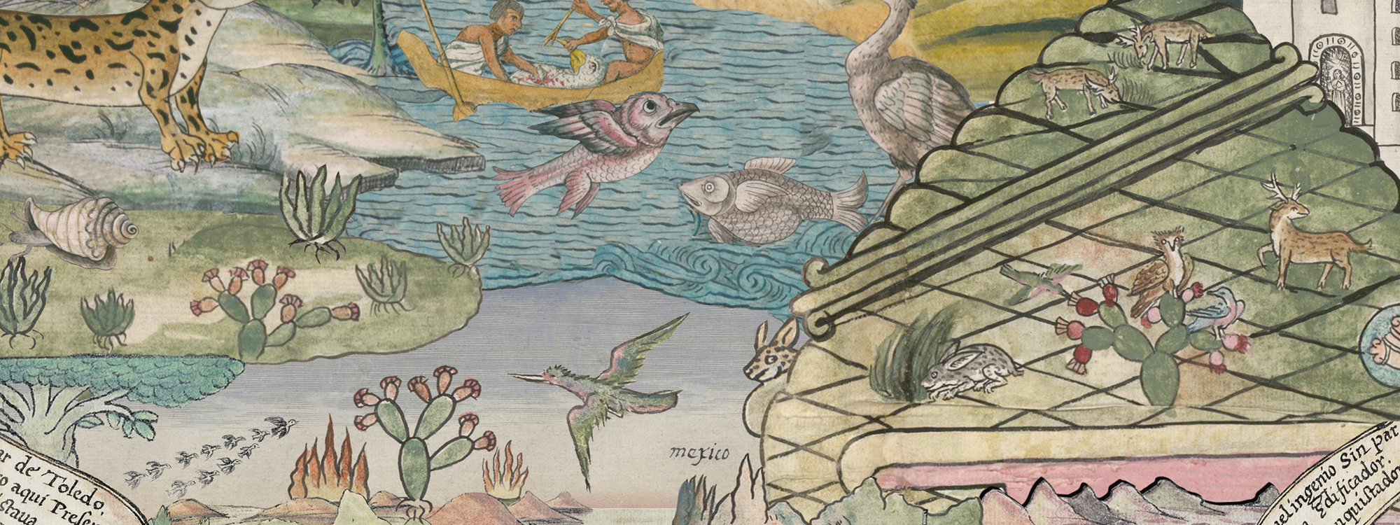
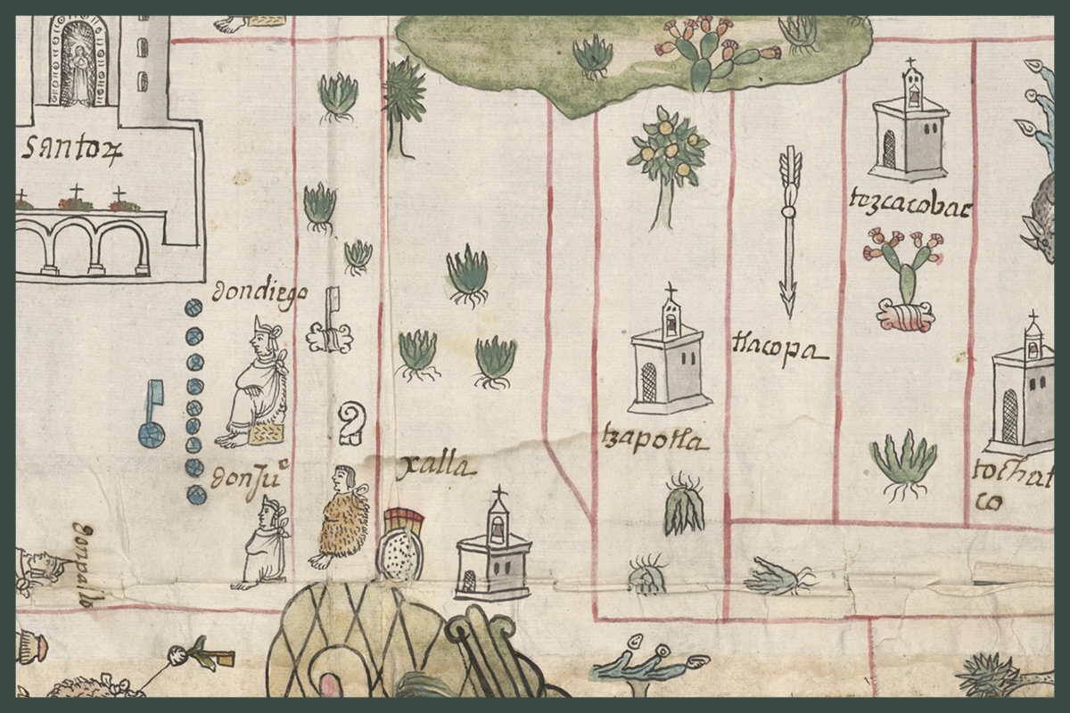
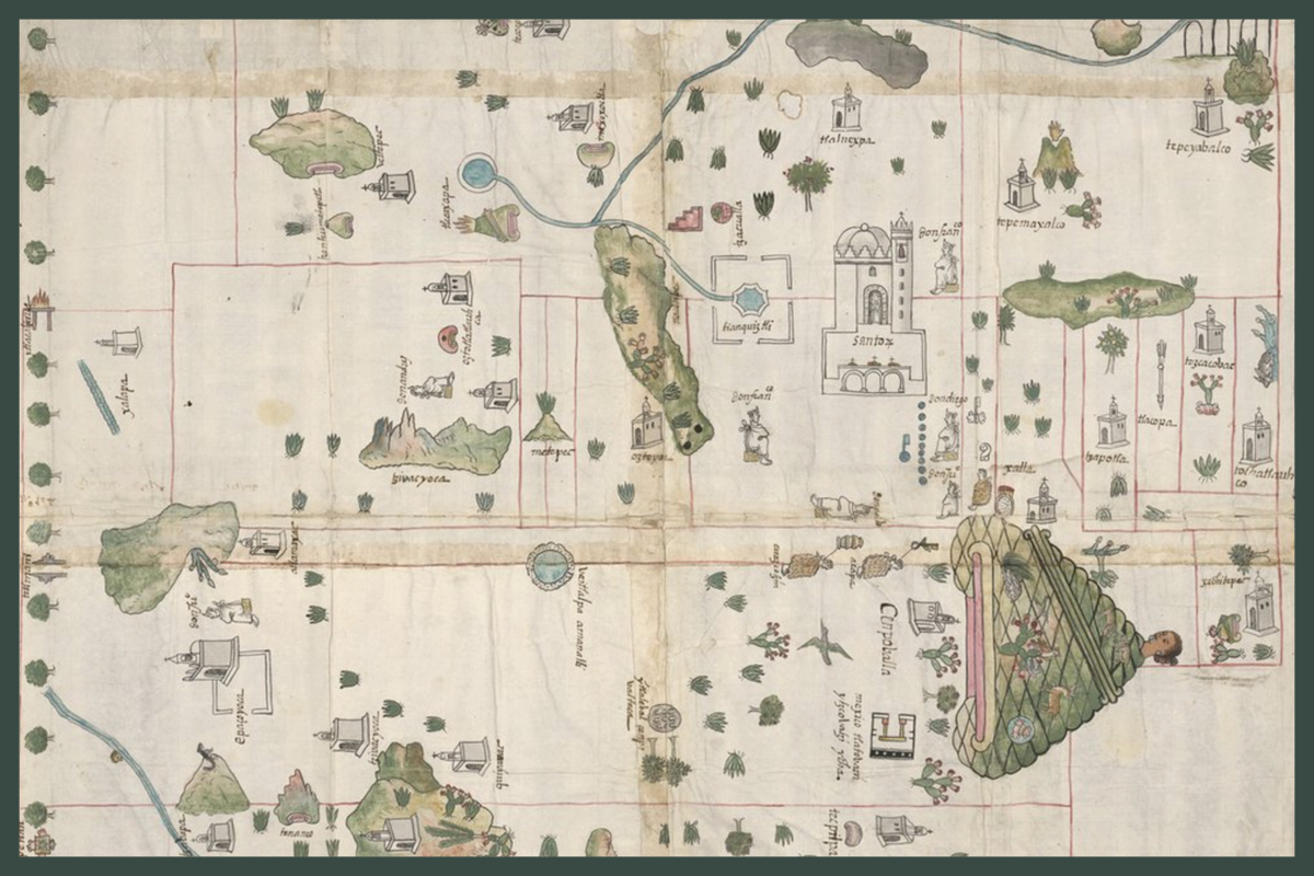
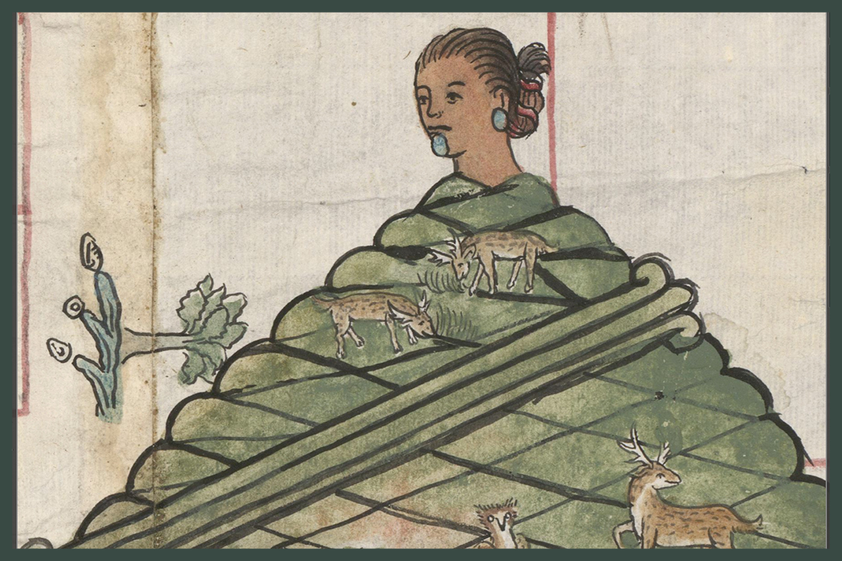
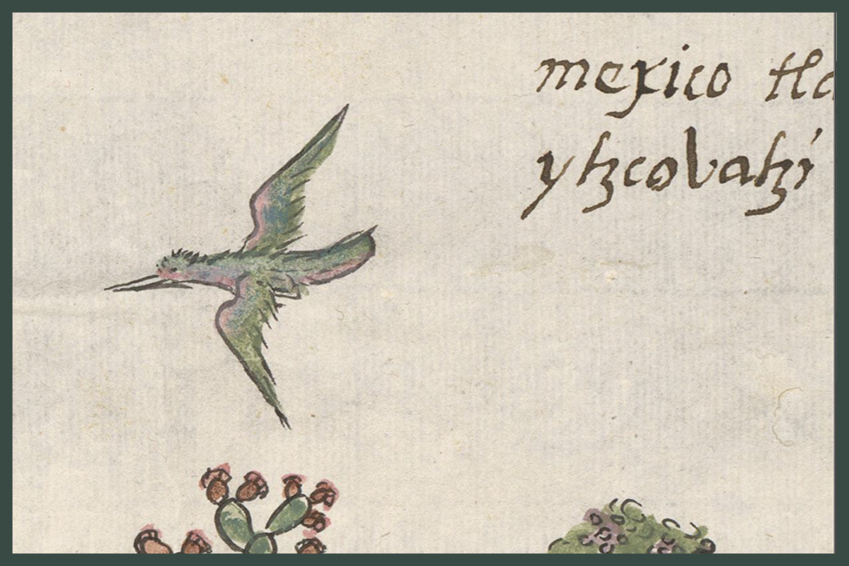
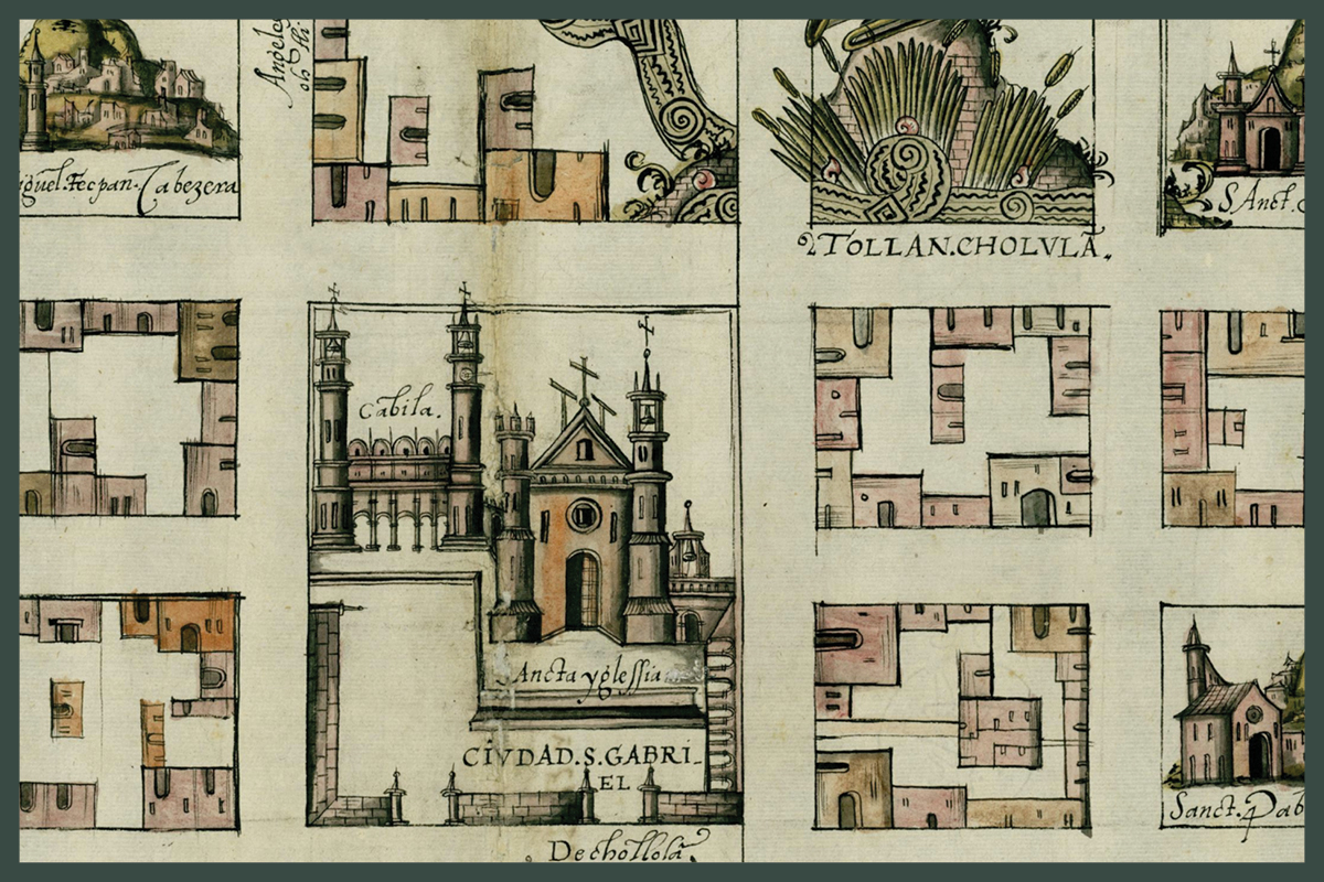
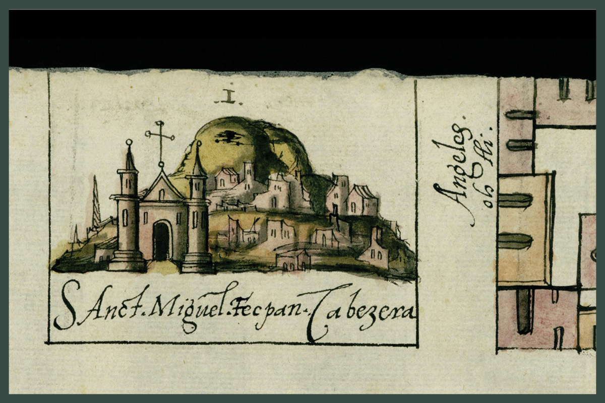
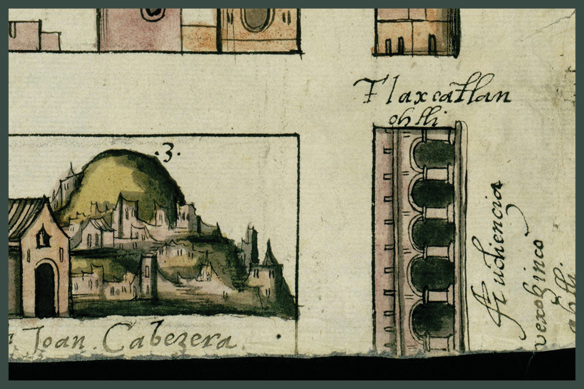
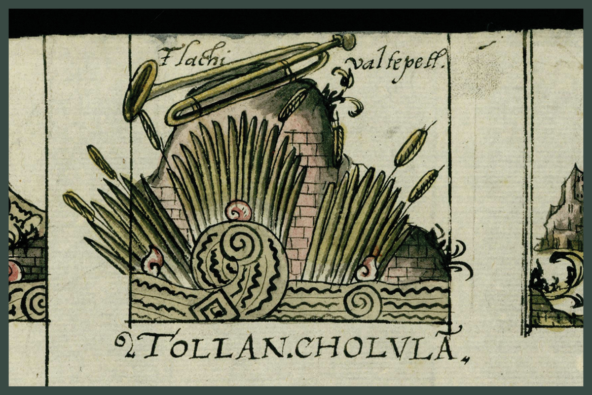
They are replete with descriptions of local flora, fauna, and history, as well as occasional paintings and maps by indigenous artists.
Our searchable database of the relaciones corpus integrates a mapping tool to trace the circulation of key plants, animals, medicine, people, and ideas throughout colonial Latin America.
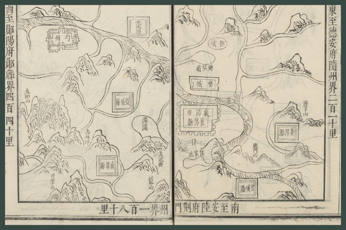
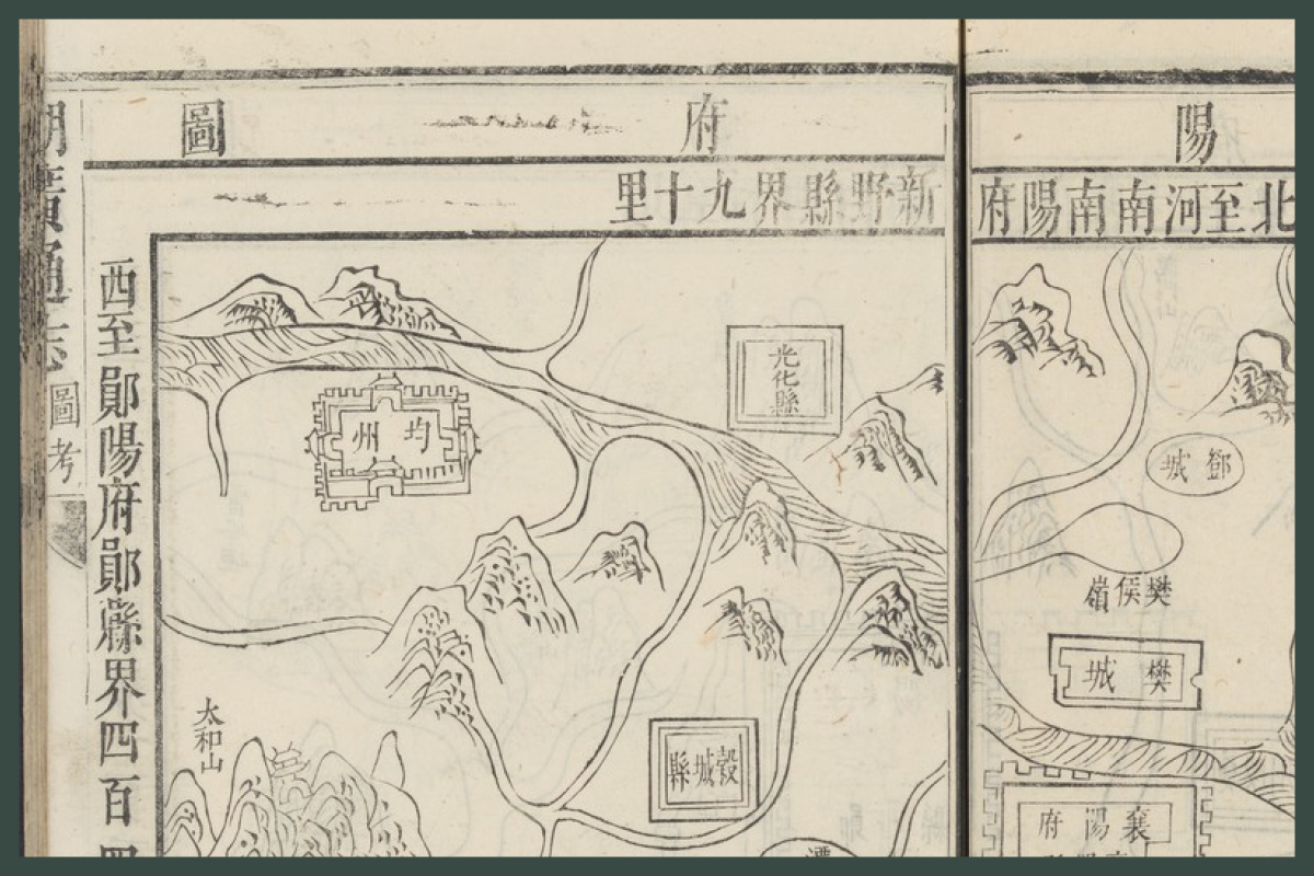
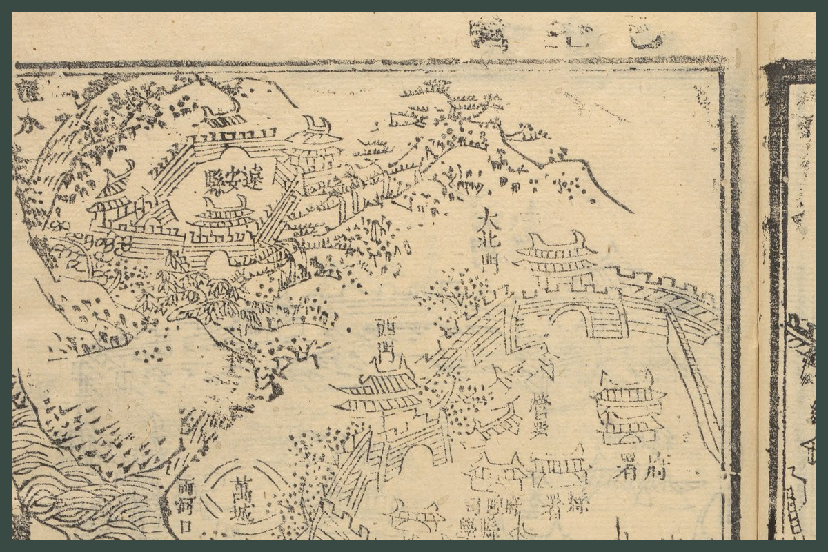
Knowing an Empire: Imperial Science
in the Chinese and Spanish Empires, 1500-1800
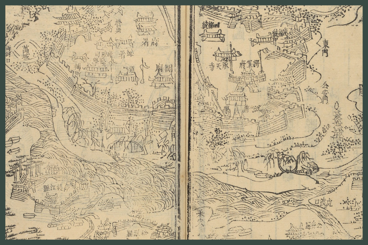
Vast empires, whether in Asia or the Americas, faced similar challenges when it came to scale and diversity. To control sweeping expanses of varied geography, human and natural alike, early modern administrators aimed to collect and organize knowledge. While localities within imperial boundaries might revel in their specific customs, natural histories, resources, and geographies, central administrators envisioned a means to transcend those specificities.
Mapping Biodiversity
in the Relaciones Geográficas
Failing to discover a new route to the East Indies in 1492, Christopher Columbus set off an unprecedented age of colonization and exploration in the Americas. In the succeeding decades, conquistadors allied with indigenous dissidents to topple mighty empires in North and South America. The Spanish intended to only replace the highest strata of governors as they relied on systematic extraction that privileged pre-existing political structures. However, plague and invasive species hastened a cataclysmic cultural change. Europeans filled the Americas with their own flora, fauna, and people, reproducing European values beyond their original intentions. In just a century, swaths of the New World became a New Spain relaciones Geográficas can yield new insights into the extent of loss under this new colonial administration.
Diversity Lost
in the Relaciones Geográficas
As conquistadors transformed into natural historians, their writings provided a snapshot of a Mesoamerican landscape now lost and transformed. Their stories tell of squirming axolotls – amphibians now critically threatened. Curious administrators noted how they walked the line between fish and serpent, and tasted delicious with salt. Roving jaguars prowled jungled now felled. Interweaving modern ecological research and the relaciones’ insights provide information about changing plant and animal habitats.

